
Antarctic Science Platform contributes to international monitoring of Southern Ocean function
Background
The Southern Ocean plays a critical role in regulating Earth’s climate – absorbing excess heat and carbon dioxide (CO2) from the atmosphere – but as our climate changes so too do the properties and the functions of our oceans.
The extent of this change can only be adequately quantified by regular and comprehensive monitoring of our global marine environment. These data are essential for increasing certainty in future ocean and climate scenarios, distinguishing between natural and human-induced climate change, and managing the Southern Ocean environment.
Argo Floats are the step-change in technology and accompanying scientific programme that allows this monitoring to happen. The floats are ocean-sampling devices that drift in currents, from the surface to depths of up to 2,000m, and measure properties such as salinity, temperature, and ocean biogeochemistry.
Prior to the invention of Argo floats, subsurface ocean properties had to be measured by travelling to specific locations, deploying instruments into the water and later retrieving them to access and analyse the data. Argo floats now enable data to be gathered in difficult-to-reach locations, at regular intervals and depths, without the need for physical retrieval or sample handling. This approach is more time and cost efficient, while also reducing environmental harm from outputs such as carbon emissions.
What the Antarctic Science Platform has contributed
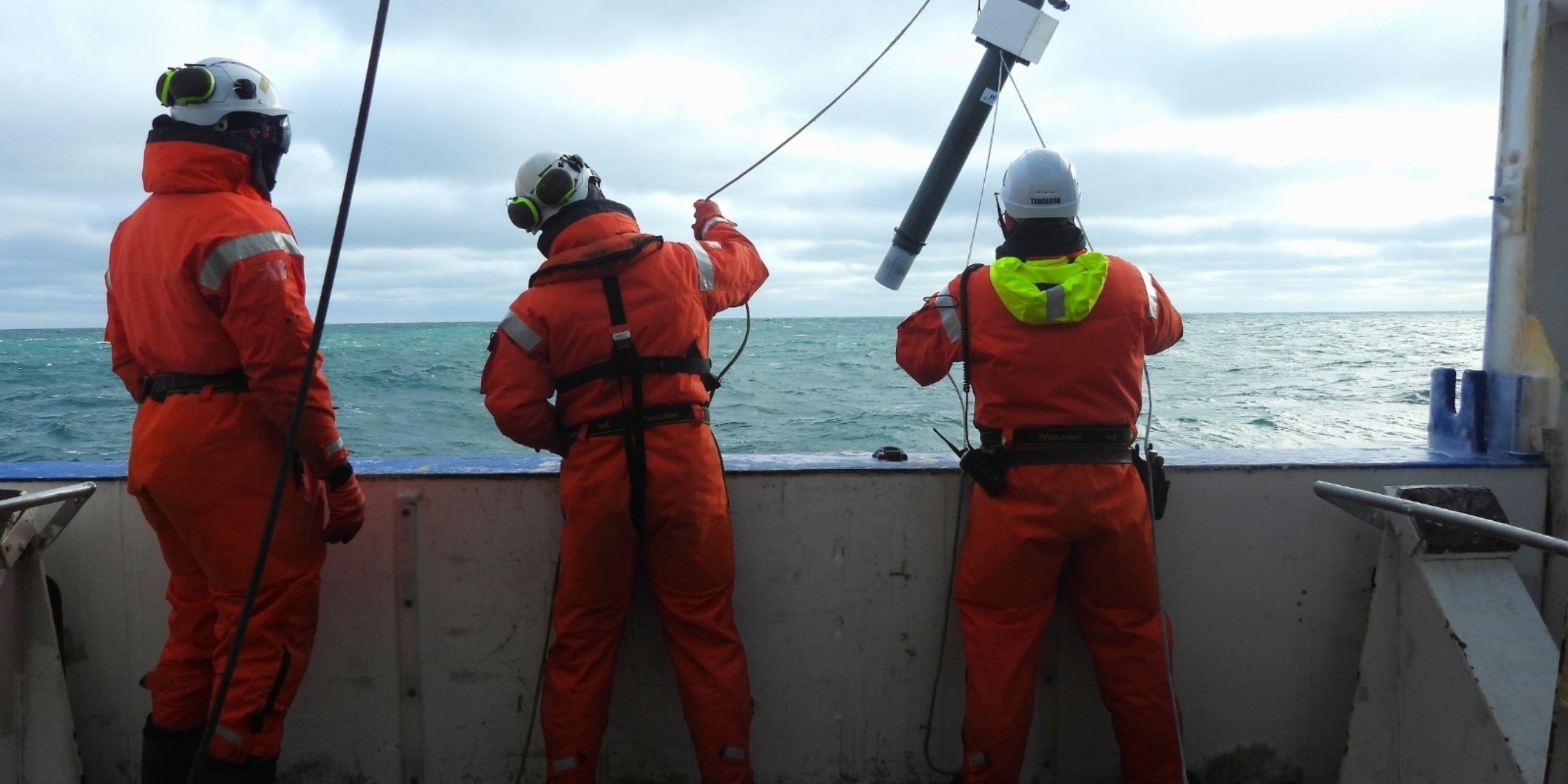
The ASP has contributed or committed $615,000 to the Argo Float programme across Phase 1 (2018-2025) and Phase 2 (2026-2032). This has gone towards the deployment of floats from the RV Tangaroa in 2024/2025, funds committed for purchases and deployments during Phase 2, and support set aside for increasing costs of the floats over time.
In 2026, the ASP funded the purchase of two Argo Floats through Te Herenga Waka – Victoria University of Wellington. These floats will be deployed to join the global network, which the Argo programme maintains at around 4,000 (the critical mass needed to have global coverage of Earth’s oceans). New floats must be added to the network each year to replace others that are decommissioned or lost.
Each of the 4,000 floats has been contributed by research programmes across the world, and the data are freely available for anyone to access. Data from one float provides valuable local insights, but data from thousands have given us key information into the way our global ocean works.
Outputs and outcomes
In the past financial year alone ASP researchers have published three peer-reviewed articles that used data from Argo Floats. These covered areas of spatiotemporal connections in the Ross Sea, phytoplankton community structure, and ocean observations in the Indian Sector of the Southern Ocean. Together, these articles demonstrate that climate driven changes in Antarctic and Southern Ocean systems are rapidly reshaping ocean circulation and marine ecosystems in ways that weaken food webs, reduce the ocean’s capacity to store carbon, and create feedbacks that could accelerate climate change and its environmental impacts. These findings are all valuable for policymakers to plan for future climate scenarios.
These are three of 160 scientific papers worldwide that either used Argo Float data or discussed the devices as a central theme of the paper. That is about three papers a week published thanks to the Argo international collaboration. By contributing to this, the ASP is helping Antarctic and Southern Ocean researchers and management bodies have the information they need to make the best decisions possible.
International policy reports such as those from the Intergovernmental Panel on Climate Change (IPCC) are based on scientific studies using Argo float data, which show how our oceans are changing. In the report “Climate Change 2021: The Physical Science Basis” Argo floats are mentioned 44 times. This shows how valuable Argo Float data are to policymakers.
The Global Ocean Observing System (GOOS) programme is led by the Intergovernmental Oceanographic Commission of the United Nations Educational, Scientific and Cultural Organisation. They describe the Argo programme as having a “vital role” in global ocean observations.
The United Nations Decade of Ocean Science for Sustainable Development has included Argo Floats as one of their flagship projects: OneArgo aims to increase “Argo’s already remarkable impact” by including polar oceans and marginal seas in the Argo network, extending coverage to the full ocean depth and including biogeochemical measurements.
New products and tools are also being developed that, for example, use Argo data to create oxygen maps and monitor ocean deoxygenation. These emerging solutions help us to understand, predict, or forecast the way the ocean and climate will change so we can plan and prepare more effectively. The more prepared for change we are, the more we can reduce negative impacts.